Walk down Linton High Street and the road drops to the River Granta, crosses on a bridge built in 1868, then climbs again. Before that bridge every crossing in the village was a footbridge or a ford, and lanes such as Horn Lane and Mill Lane still wind down to old fording points. Linton was a market town from 1246, when William de Say won a charter for a weekly market, and it remains a big village today, with 7,234 people at the 2021 census. Its history shows in its buildings: Linton has more than 120 listed buildings, and over 50 of them are on the High Street.
Render, pargetting, gault and thatch
South Cambridgeshire District Council’s 2022 conservation area appraisal describes the materials that give Linton its look. Walls are mostly render in pale neutral shades, often over a timber frame, with some striking pargetting and some exposed framing; there are also houses of red brick, pale gault brick and flint. On the High Street the roofs are mainly plain clay tile, with some Welsh slate and pantile, and long straw thatch is common around The Grip. Windows are usually painted timber, many of them horizontal sliding Yorkshire sashes. Most buildings are two storeys, and a good number are one and a half, lit by traditional dormers.
That palette is the guide for any repair or extension in the old village. New work should sit comfortably next to old render and tile, and timber windows are worth repairing rather than replacing where they can be saved. Our carpentry covers sash and casement repairs as well as structural timber, and our brick and flint work suits the high garden walls that line Mill Lane and Church Lane.
The Granta and flooding
The river shaped Linton, and it still matters. The appraisal records that the village and the open land to its south are liable to flooding. When the A1307 bypass was built in the late 1960s its embankment made the long-standing problem worse, and a flood control scheme followed. Below the village the soils are alluvium and gravel near the river, rising to chalk on the hills either side. Anyone extending a house in the lower parts of the village should look at the Environment Agency flood map early, as it can affect floor levels, drainage and the type of foundation.
Outside the old centre
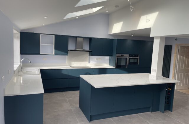
Linton grew fast after the war. Many houses went up in the 1950s and 1960s to the north and west of the village, new roads were laid out towards the village college, and housing estates followed at the southern end of Balsham Road. Away from the conservation area, these streets are where we would expect most extensions, loft conversions and kitchen refits to be planned.
The conservation area itself is large. It covers the High Street on both sides of the river, the lanes running off it, The Grip and the hamlet of Little Linton, and the 2022 review added further land to it. If your house is inside it, or listed, expect more control over changes to its outside, and talk to South Cambridgeshire’s planners before you commit to a design.
A local firm for a large village
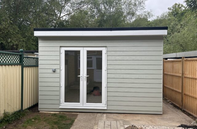
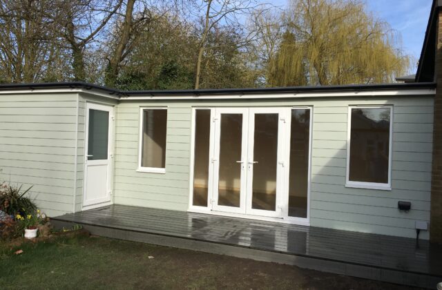
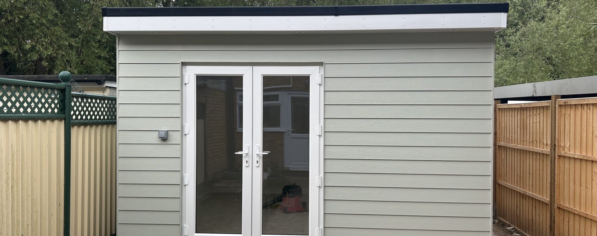
We are a family business, insured in full, and we set up A&F Building Services back in 1993. We do not have a case study in Linton itself; our closest finished projects are garden rooms in Sawston and Shelford, both clad in Hardie board with a separate store for garden equipment. Whether your house is a 17th-century cottage or a 1960s semi, one team takes it from the first drawings to the final finishes.